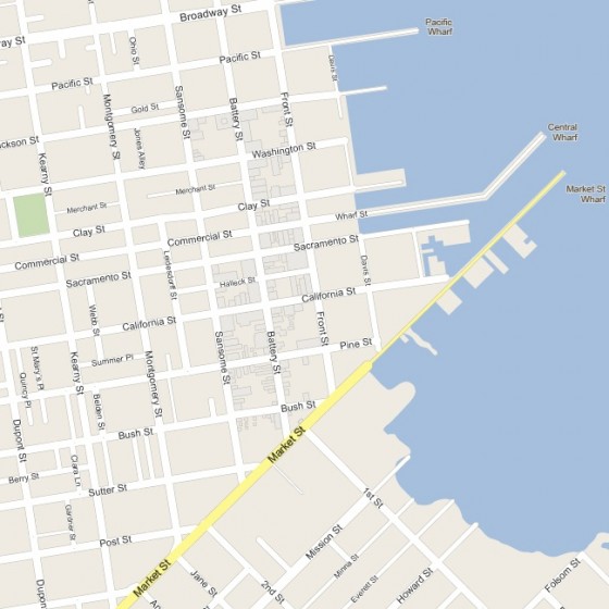
Hey, look, a map of San Francisco!
Waaaaait a second, something’s different about this. <insert Wayne’s World time travel music> It’s Google Maps, 1853! Behold PastMapper, an utterly epic work in progress on the part of @bradvertising, bringing the 1853 Coast Survey map to life and geotagging the 1852 city directory on top of it.
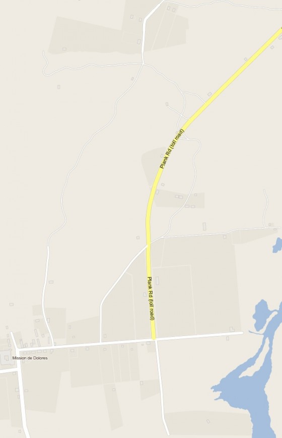
In the 1850s, the Mission was where you went to party and drink on the weekend. The Mission Plank Road (the curve of which BART follows today) was completed in 1851.
There was a toll — just 25 cents for riders on horseback, 75 cents for two-horse wagons, one dollar for a four-horse team! (What a bargain compared to BART or Muni.)
Well, not so fast — a dollar in 1853 was worth about $30 today. A glass of ale cost 12 and a half cents, and the typical fine for drunk/disorderly conduct was $5. Needless to say, lots of folks hoofed it along side trails, cutting through the sand dunes and Hayes Valley.
Anyway, the 1853 is only the start for Pastmapper. I have it on good authority that the much more expansive 1857/1859 Coast Survey map (with much more of the Mission) is on the to-do list.
Pastmapper: bringing you yesterday, today!

